Modernization achievements in Inner Mongolia autonomous region
Share - WeChat

|
|
| Photo taken on July 1, 2017 shows cows in Hulun Buir grassland, in North China's Inner Mongolia autonomous region. [Photo/Xinhua] |
A positioning system, jointly developed by Inner Mongolia University of Science and Technology and the animal husbandry bureau of Hangjin Banner, Ordos was officially put into use in Inner Mongolia in 2016. By fitting animals with GPS collars, their locations can be viewed on computers or phones, making herding much easier for the herdsmen.
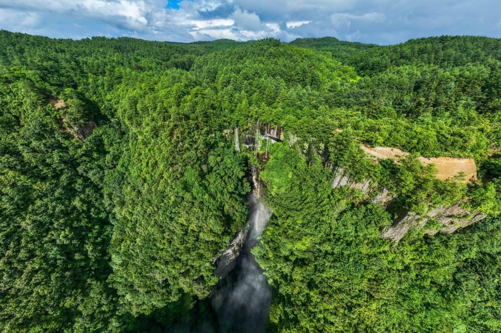
- Drone reveals Guizhou's emerald forest canopy
- Study book on Xi's thoughts on ethnic work published in ethnic languages
- Xizang reports gains against endemic diseases
- China vigorously pursues transformation, industrialization of patents
- China unveils new standards for funeral services, emphasizing transparency, eco-friendly practices
- China deepens global IP ties with over 80 partners


