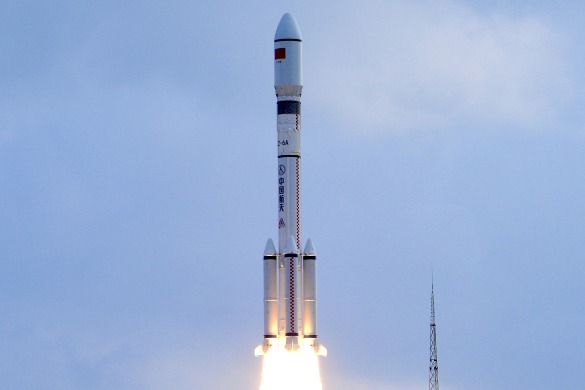
China receives data from three Gaofen 1 satellites


BEIJING — China Wednesday received the first package of data from the three high-resolution Gaofen 1 satellites launched on March 31, according to the Institute of Remote Sensing and Digital Earth of the Chinese Academy of Sciences.
The package of data with a total size of 166.31 gigabytes was received by the remote sensing satellite ground station in Miyun on the outskirts of Beijing.
Ground stations in South China's Sanya and Northwest China's Kashgar all received real time image data from the satellites.
The three satellites form a constellation and will be used in fields such as land and resources surveys, disaster monitoring, emergency response, environmental protection and agriculture.
The satellites, developed by China Aerospace Science and Technology Corporation, have a designed life of six years.
Ground stations in Miyun, Kashgar, Sanya, Kunming, as well as one in the Arctic, are responsible for receiving the data.
- Zhejiang leads in innovation, IP development
- Lotus sanctuary dazzles at wetland park in Chongqing
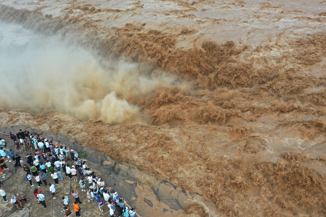
- Nearly 5,700 residents relocated amid heavy rain in Jizhou, Tianjin
- China to offer nationwide childcare subsidies
- China sees better air, water quality in H1
- Heavy-ion accelerator integrating into cancer treatment in China